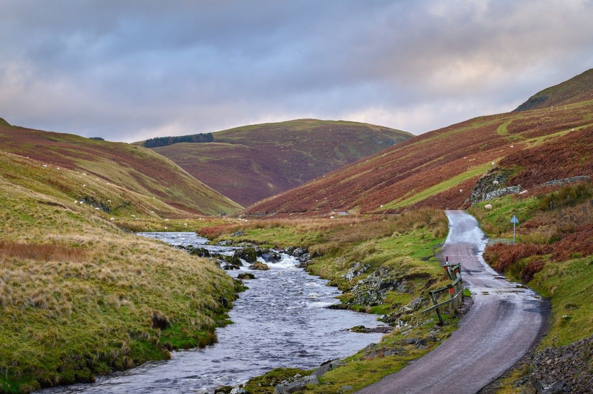
The United Kingdom offers an incredible variety of running trails that showcase its diverse landscapes, from coastal paths to mountain ridges, ancient woodlands to rolling hills. This comprehensive guide explores the top 10 running trails in the UK, providing detailed information on each route to help you plan your next trail running adventure.
1. West Highland Way, Scotland
The West Highland Way is one of Scotland's most iconic long-distance trails. This 96-mile (154 km) route stretches from Milngavie, near Glasgow, to Fort William. The trail is considered moderate to challenging, with an approximate elevation gain of 3,900 metres throughout its length.
The journey begins with a gentle 12-mile stretch from Milngavie to Drymen, taking runners through lowland countryside and along the shores of Loch Lomond. The next 15-mile segment from Drymen to Rowardennan follows the eastern shore of Loch Lomond, offering beautiful lake views. The third section, a challenging 14-mile trek from Rowardennan to Inverarnan, features spectacular loch views and the ascent of Conic Hill.
Continuing on, runners will cover 12 miles from Inverarnan to Tyndrum, passing through Glen Falloch and Strathfillan, encountering historic sites along the way. The longest single-day stretch of 19 miles from Tyndrum to Kingshouse crosses the remote and beautiful Rannoch Moor. The penultimate stage is a 9-mile section from Kingshouse to Kinlochleven, which includes the challenging ascent of the Devil's Staircase. The final 15-mile leg from Kinlochleven to Fort William provides stunning views of Ben Nevis, the UK's highest mountain.
Throughout the West Highland Way, runners will experience breathtaking Highland scenery and diverse terrain ranging from lowlands to mountains. The trail offers opportunities to observe rich wildlife, including red deer and golden eagles. Along the route, participants will encounter historic sites and pass through charming villages, adding cultural interest to the natural beauty of the landscape.
2. South Downs Way, England
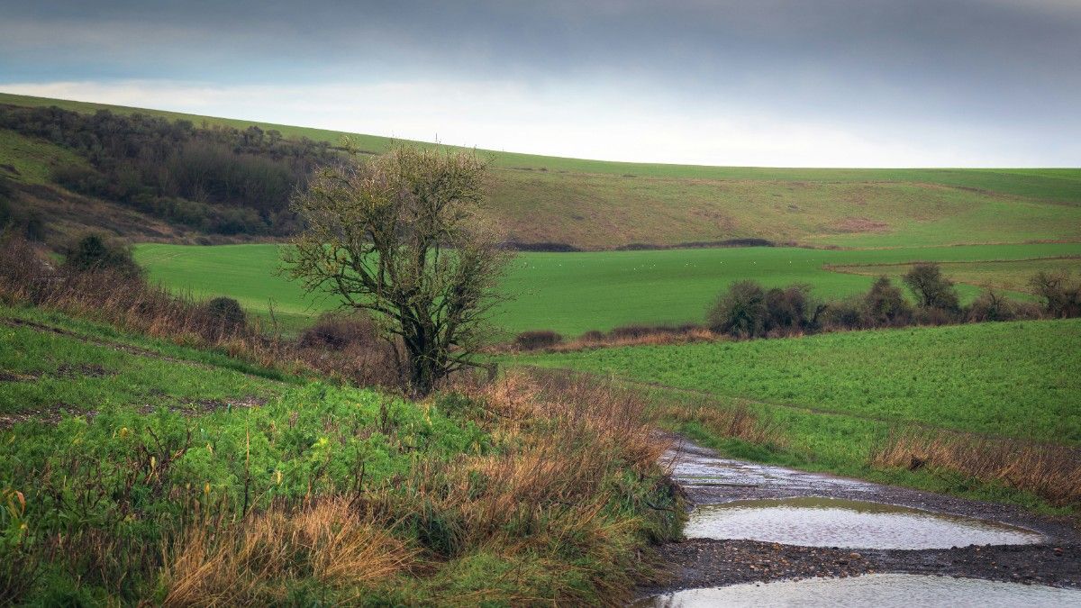
The South Downs Way offers a beautiful chalk ridge run across the south of England. This 100-mile (160 km) trail stretches from Winchester to Eastbourne, traversing the length of the South Downs National Park. The route is considered moderate in difficulty, with an approximate elevation gain of 4,150 metres throughout its course.
The journey begins with a gentle 12-mile stretch from Winchester to Exton, taking runners through the picturesque Hampshire countryside. The next 17-mile segment from Exton to Buriton presents challenging hills that reward runners with great views of the Isle of Wight. The third section, another 17-mile trek from Buriton to Cocking, passes through Queen Elizabeth Country Park and Harting Down.
Continuing on, runners will cover 14 miles from Cocking to Amberley, experiencing varied terrain and encountering historic sites like Bignor Roman Villa. The next 14-mile stretch from Amberley to Bramber includes crossing the River Arun and passing the dramatic Devil's Dyke. The penultimate stage is a challenging 16-mile section from Bramber to Ditchling Beacon, featuring climbs that offer panoramic views. The final 10-mile leg from Ditchling Beacon to Eastbourne provides a coastal finale with dramatic chalk cliffs.
Throughout the South Downs Way, runners will enjoy panoramic views of the English Channel and encounter ancient hill forts and burial mounds. The trail showcases diverse flora and fauna, adding natural interest to the run. Along the route, participants will pass through picturesque villages and have the opportunity to visit traditional pubs, offering a taste of English rural life and culture.
3. Hadrian's Wall Path, England
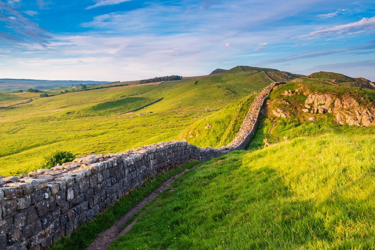
Hadrian's Wall Path offers a unique blend of history and natural beauty. This 84-mile (135 km) trail stretches from Wallsend near Newcastle to Bowness-on-Solway, following the ancient Roman wall across northern England. The route is considered moderate in difficulty, with an approximate elevation gain of 2,130 metres throughout its course.
The journey begins with a 15-mile stretch from Wallsend to Heddon-on-the-Wall, transitioning from an urban start to countryside. The next 15-mile segment from Heddon-on-the-Wall to Chollerford features gentle terrain with the first sections of the wall becoming visible. The third section, a 12-mile trek from Chollerford to Once Brewed, is the most dramatic and hilly, including Housesteads Roman Fort.
Continuing on, runners will cover 9 miles from Once Brewed to Gilsland, encountering continued wall sections and Roman forts. The next 11-mile stretch from Gilsland to Walton offers gentler terrain through farmland. The penultimate stage is an 11-mile flat section from Walton to Carlisle along the River Eden. The final 11-mile leg from Carlisle to Bowness-on-Solway provides a coastal finish through salt marshes.
Throughout Hadrian's Wall Path, runners will encounter extensive Roman ruins and reconstructions, offering a tangible connection to ancient history. A notable highlight is Sycamore Gap, famously featured in the film "Robin Hood: Prince of Thieves". The trail provides stunning views across Northumberland and Cumbria, showcasing the diverse landscapes of northern England. In the coastal areas, particularly near the finish, there are excellent birdwatching opportunities, adding natural interest to the historical aspects of the run.
4. Cotswold Way, England
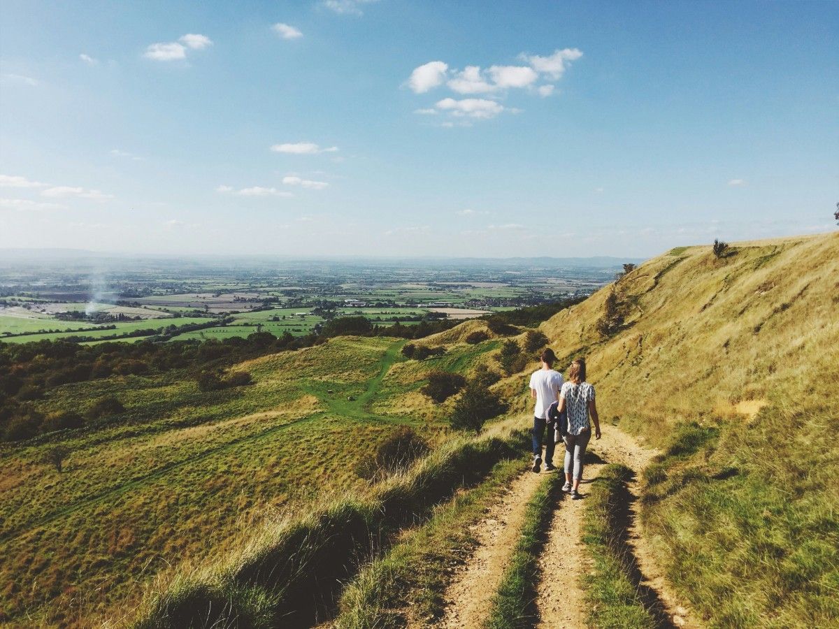
The Cotswold Way showcases the quintessential English countryside along its 102-mile (164 km) route from Chipping Campden to Bath. This moderate trail winds through the Cotswolds Area of Outstanding Natural Beauty, offering an approximate elevation gain of 4,300 metres throughout its course.
The journey begins with an 11-mile gentle start from Chipping Campden to Stanway, immersing runners in typical Cotswold scenery. The next 13-mile segment from Stanway to Cleeve Hill presents challenging climbs rewarded with panoramic views. The third section, a 16-mile trek from Cleeve Hill to Birdlip, features varied terrain and passes by Iron Age hill forts.
Continuing on, runners will cover 10 miles from Birdlip to Painswick, traversing woodland trails and enjoying valley views. The next 15-mile stretch from Painswick to Dursley is challenging, with steep escarpments to navigate. A 13-mile section from Dursley to Wotton-under-Edge offers more hills and historic sites. The penultimate stage is a gentler 15-mile run from Wotton-under-Edge to Tormarton through farmland. The final 9-mile leg from Tormarton to Bath concludes the journey in the historic city of Bath.
Throughout the Cotswold Way, runners will experience stunning views from Cleeve Hill, the highest point in the Cotswolds. The trail passes by Neolithic long barrows and Iron Age hill forts, offering glimpses into the area's ancient history. Charming villages like Broadway and Painswick provide picturesque rest stops along the way. The route concludes in Bath, where runners can explore the famous Roman Baths and admire the city's Georgian architecture, providing a fitting end to this journey through classic English landscapes.
5. Pennine Way, England
The Pennine Way, Britain's oldest and toughest National Trail, spans 268 miles (431 km) from Edale in the Peak District to Kirk Yetholm on the Scottish Borders. This challenging trail, often referred to as the "backbone of England," offers an impressive elevation gain of approximately 11,000 metres throughout its course.
The journey begins with a demanding 17-mile stretch from Edale to Crowden, taking runners over Kinder Scout. The next 28-mile segment from Crowden to Hebden Bridge traverses bleak moorland and passes by reservoirs. The third section, a 33-mile trek from Hebden Bridge to Malham, showcases the landscapes of the Yorkshire Dales.
As runners progress, they'll cover 15 miles from Malham to Horton-in-Ribblesdale, featuring limestone landscapes including the famous Malham Cove. The next 14-mile stretch from Horton-in-Ribblesdale to Hawes includes the ascent of Pen-y-ghent. From Hawes to Keld, a 13-mile section crosses Great Shunner Fell and enters Swaledale.
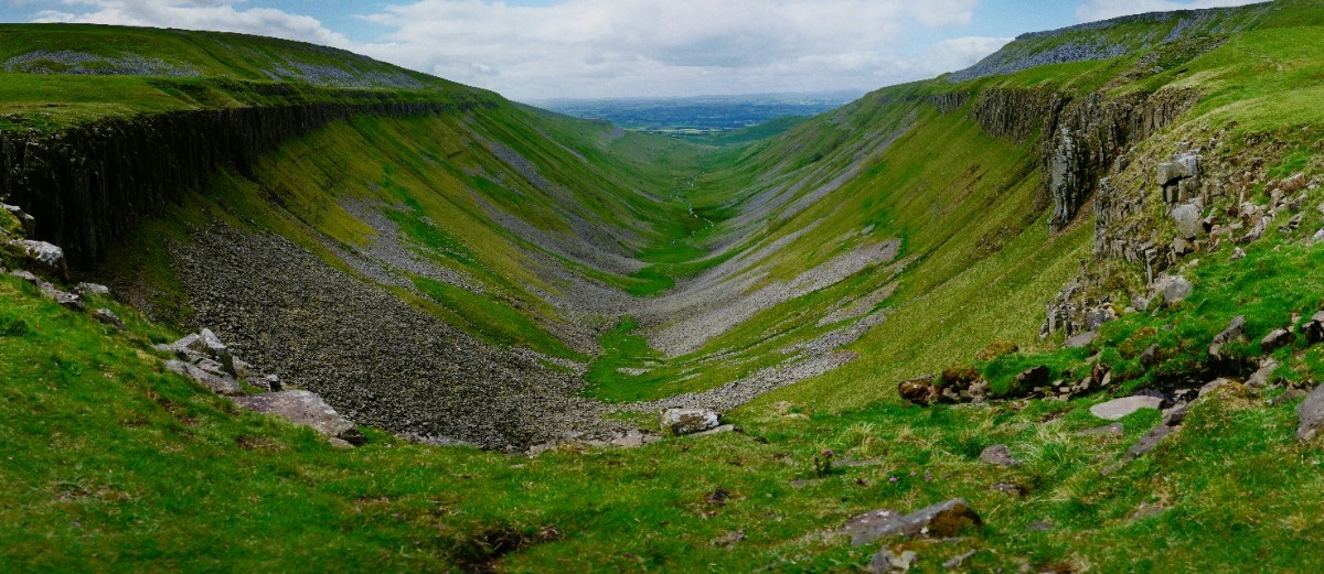
The trail continues with a remote and challenging 20-mile terrain from Keld to Middleton-in-Teesdale, followed by another 20 miles to Dufton, featuring waterfalls and the dramatic High Cup Nick. The highest point of the trail, Knock Fell, is crossed in the 20-mile section from Dufton to Alston.
The route then offers a gentler 17-mile stretch along the South Tyne valley from Alston to Greenhead, before a 23-mile section to Bellingham that includes part of Hadrian's Wall and Wark Forest. The penultimate stage is a 15-mile run across remote moorland from Bellingham to Byrness. The final challenging 28-mile leg from Byrness to Kirk Yetholm takes runners over the Cheviot Hills.
Throughout the Pennine Way, runners will encounter numerous highlights. These include Kinder Scout, the site of the historic 1932 Mass Trespass; the Yorkshire Three Peaks of Pen-y-ghent, Whernside, and Ingleborough; the impressive High Force waterfall in Teesdale; the dramatically glaciated valley of High Cup Nick; and sections of the ancient Hadrian's Wall. This epic trail offers a comprehensive tour of northern England's most challenging and beautiful landscapes.
6. North Downs Way, England
The North Downs Way offers a mix of natural beauty and historical interest along its 153-mile (246 km) route from Farnham in Surrey to Dover in Kent. This moderate trail follows the chalk ridge of the North Downs, presenting an approximate elevation gain of 3,800 metres throughout its course.
The journey begins with an 11-mile gentle start from Farnham to Guildford, taking runners through the Surrey countryside. The next 24-mile segment from Guildford to Box Hill features challenging hills and rewarding viewpoints. The third section, a 12-mile trek from Box Hill to Merstham, traverses iconic chalk grasslands characteristic of the region.
Continuing on, runners will cover 24 miles from Merstham to Otford, experiencing a mix of woodland and open downs. The next 24-mile stretch from Otford to Rochester showcases the Kent countryside and includes crossing the Medway. A 23-mile section from Rochester to Hollingbourne takes runners past orchards and vineyards. The final 35-mile leg from Hollingbourne to Dover concludes the journey with coastal views.
Throughout the North Downs Way, runners will encounter numerous highlights. Box Hill, famous from the 2012 Olympics cycling route, offers a challenging ascent and panoramic views. The trail provides spectacular vistas from the Surrey Hills and Kent Downs, showcasing the beauty of southeast England's landscapes. A significant point of interest is Canterbury Cathedral, a major pilgrimage site with centuries of history. The route concludes at the iconic White Cliffs of Dover, providing a dramatic finish to this journey through the heart of southeast England.
This trail not only offers natural beauty but also connects runners with the rich history of the region, from ancient pilgrimage routes to World War II defences along the coast. The North Downs Way provides a comprehensive experience of the varied landscapes and historical significance of this part of England.
7. Coast to Coast Path, England
Wainwright's Coast to Coast Path, while not an official National Trail, is a classic British long-distance route spanning 192 miles (309 km) from St Bees in Cumbria to Robin Hood's Bay in North Yorkshire. This challenging trail crosses northern England from west to east, offering an approximate elevation gain of 6,700 metres throughout its course.
The journey begins with a 14-mile coastal start from St Bees to Ennerdale Bridge, marking the entry into the Lake District. The next 15-mile segment from Ennerdale Bridge to Borrowdale takes runners through the heart of the Lake District. The third section, a 16-mile trek from Borrowdale to Patterdale, features challenging mountain terrain.
Continuing on, runners will cover 16 miles from Patterdale to Shap, exiting the Lake District. The next 20-mile stretch from Shap to Kirkby Stephen traverses the Eden Valley. A 13-mile section from Kirkby Stephen to Keld enters the Yorkshire Dales and crosses the Pennine watershed.
The route then offers an 11-mile run from Keld to Reeth, where runners can choose between a high or low route. Another 11 miles takes runners from Reeth to Richmond through Swaledale's scenic landscapes. The longest single stage is a 23-mile stretch from Richmond to Ingleby Cross across the Vale of Mowbray.
The final stages include a 12-mile entry into the North York Moors from Ingleby Cross to Clay Bank Top, followed by an 18-mile moorland crossing to Glaisdale. The last 19-mile leg from Glaisdale to Robin Hood's Bay concludes the journey at the North Sea.
Throughout the Coast to Coast Path, runners will experience diverse landscapes from mountains to moors. Scenic lakes including Ennerdale Water and Haweswater offer beautiful vistas. The trail passes by historic sites such as Shap Abbey and Richmond Castle, providing cultural interest. Picturesque villages and market towns along the route offer glimpses into rural English life.
This trail, conceived by renowned fell walker Alfred Wainwright, showcases the varied beauty of northern England's landscapes, from the rugged Lake District to the expansive North York Moors, providing a comprehensive cross-section of the region's natural and cultural heritage.
8. Thames Path, England
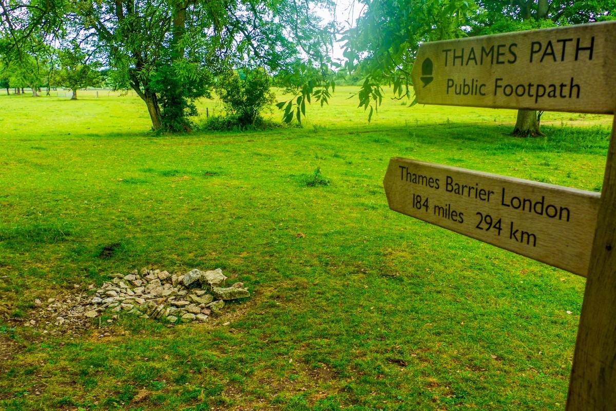
The Thames Path offers a unique perspective on England's most famous river, stretching 184 miles (296 km) from the source of the Thames in Kemble, Gloucestershire, to the Thames Barrier in London. This easy to moderate trail is mostly flat, with minimal elevation gain, making it accessible to a wide range of runners.
The journey begins with a 52-mile stretch from Kemble to Oxford, following the rural upper reaches of the Thames. This section allows runners to experience the river in its most natural state, winding through quiet countryside. The next 45-mile segment from Oxford to Reading passes by historic towns and through riverside meadows, blending cultural interest with natural beauty.
Continuing on, runners will cover 23 miles from Reading to Windsor, encountering royal landscapes and passing through the famous rowing town of Henley-on-Thames. The 28-mile section from Windsor to Richmond includes significant historical sites such as Hampton Court Palace and Runnymede, where the Magna Carta was sealed.
The final 36-mile leg from Richmond to the Thames Barrier takes runners through the heart of London, offering a unique perspective on the capital city from its central waterway.
Throughout the Thames Path, runners will encounter numerous highlights. The "dreaming spires" of Oxford provide a stunning backdrop early in the run. Windsor Castle and Eton College showcase Britain's royal and educational heritage. Hampton Court Palace offers a glimpse into Tudor history. As the trail enters London, it passes by many of the city's iconic landmarks, including Tower Bridge and the Houses of Parliament.
This trail provides a comprehensive journey along the entire length of the River Thames, from its modest beginnings to its grand finale in the capital. It offers runners a chance to experience the changing character of the river and its surroundings, from rural idylls to one of the world's great cities. The Thames Path presents a unique way to experience both the natural and cultural history of southern England, all while following the course of its most significant river.
9. Pembrokeshire Coast Path, Wales
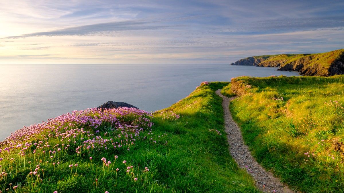
The Pembrokeshire Coast Path offers stunning coastal scenery and diverse wildlife along its 186-mile (299 km) route from St Dogmaels to Amroth. This moderate to challenging trail hugs the Welsh coastline, presenting an impressive elevation gain of approximately 10,000 metres - equivalent to climbing Mount Everest.
The journey begins with a 16-mile stretch from St Dogmaels to Newport, featuring dramatic cliffs and hidden coves. The path continues through a series of varied coastal sections, each offering unique characteristics. Runners will encounter scenic harbours, remote coastal stretches, rugged headlands, and picturesque fishing villages as they progress.
Notable segments include the St Davids Peninsula, where runners pass through Britain's smallest city, and the Marloes Peninsula, known for its seabird colonies. The trail also traverses areas of industrial heritage around Milford Haven and passes military ranges near Freshwater West (where access should be checked).
Throughout the Pembrokeshire Coast Path, runners will experience diverse coastal scenery ranging from rugged cliffs to sandy beaches. The trail offers rich wildlife viewing opportunities, including seabirds, seals, and porpoises. Historic sites such as St Davids Cathedral and Pembroke Castle provide cultural interest along the route.
Key highlights include the Blue Lagoon near Abereiddi, a flooded former slate quarry with stunning turquoise waters; the lily ponds at Bosherston; and limestone cliffs near Manorbier. The path also passes through charming coastal villages and towns, including the Victorian seaside resort of Tenby.
This trail not only showcases the natural beauty of the Welsh coastline but also offers insights into the region's maritime history, industrial heritage, and cultural significance. The Pembrokeshire Coast Path provides a challenging yet rewarding experience for runners, combining physical demands with breathtaking scenery and abundant wildlife.
The ever-changing landscapes, from remote, windswept cliffs to popular beaches and sheltered bays, ensure a varied and engaging run. With its combination of natural beauty, wildlife, and historical interest, the Pembrokeshire Coast Path stands as one of the UK's most spectacular long-distance trails.
10. Great Glen Way, Scotland
The Great Glen Way offers a mix of loch-side trails and forest paths through the Scottish Highlands, spanning 79 miles (127 km) from Fort William to Inverness. This moderate trail follows the natural fault line of the Great Glen, presenting an approximate elevation gain of 1,800 metres throughout its course.
The journey begins with a 10.5-mile stretch from Fort William to Gairlochy, taking runners along the Caledonian Canal. This section provides a gentle start to the trail, with views of Ben Nevis, Britain's highest mountain, in the background.
The next 12-mile segment from Gairlochy to Laggan follows the shores of Loch Lochy and winds through forest trails. This section offers a blend of loch-side views and woodland scenery, characteristic of the Highland landscape.
The third section, a 10.5-mile trek from Laggan to Fort Augustus, takes runners along the banks of Loch Oich and canal towpaths. Fort Augustus, situated at the southern tip of Loch Ness, marks the halfway point of the Great Glen Way.
Throughout the Great Glen Way, runners will experience the diverse landscapes of the Scottish Highlands. The trail offers stunning views of Scotland's famous lochs, including Loch Lochy, Loch Oich, and the iconic Loch Ness. Forest paths provide a contrast to the open water views, showcasing the region's rich flora and fauna.
This trail not only offers natural beauty but also connects runners with the rich history of the region. The Caledonian Canal, which the path follows for much of its route, is a 19th-century engineering marvel that links the east and west coasts of Scotland.
The Great Glen Way provides a comprehensive Highland experience, combining challenging terrain with breathtaking scenery. It offers runners the opportunity to immerse themselves in the rugged beauty of the Scottish Highlands while following a historic route through one of Scotland's most famous geographical features.
Related Articles


